Introduction
So you wanna go creeking, huh? If you’re new to whitewater kayaking in BC it can be a challenging and long process to figure out which rivers to get on to match your abilities. I’ve written this article to help you find a starting point. If you’re what I call “beginner-mediate” (meaning you may just be entering that intermediate phase or you’ve been a class 3-4 boater but are just a little rusty), then this will help you get on a river with beta and perspective from a reliable source.
The following assumptions are ones I’ve made of you as paddler. If these assumptions are true, you should have no issue progressing on these rivers.
- Assumption 1: You have paddled a long boat before
By long boat, I mean a Whitewater kayak that is a river runner or a creek boat, measuring around 8ft long. If you’ve only play-boated, you’ll definitely enjoy the Clearwater.
- Assumption 2: You have some formal training
This is more of a judgement component. I assume you have done a course related to safety/rescue/ risk management in the river environment. Wilderness First Responder, Swiftwater Rescue Training, any Paddling course are all examples of courses that give you experience making decisions and using judgement.
- Assumption 3: You are in lower mainland or interior BC.
Somewhere west of Revelstoke or Kelowna. You could be in the interior or lower-mainland and willing to travel across those regions to go boating.
If these assumptions don’t match your attributes as a paddler, consider a course or at least someone to show you the ropes. More importantly, grow some judgement! The rest of this article has a breakdown of Class 2-3 rivers, Class 3-4 rivers and a video with some clips of boating on some of these rivers.
In terms of some resources, you will see a lot of references to links like Paddling Maps or LiquidLore…. I suggest you bookmark those and use them to your advantage. They are very reliable and accurate sites that a lot of the community refers to. An App called the RiverApp will not only tell you current water levels, but will give you a perspective for what flows are high, medium, and low. Water levels and logistic info is all found in these links as well.
It’s important to note that most western rivers follow suit of being more challenging at higher flows. Tight rivers w/ continuous flows become quicker and more hazardous when the flows are up. For the rest of this article, all of these rivers are being considered at a medium – low level, and extra precaution should be considered when the water rises. Anyways, let’s get started.
Class 2 – 3
The following are only 3 rivers, of literally hundreds of river sections out here. These 3 are fun, quick runs with some solid class 3 rapids amongst class 2 rapids and semi-continuous flow.
Adams River – Lower Section
typically called “The Adams”
The Adams is a stunning river just outside of Chase BC. It makes you feel like you’re creeking in the mountains but without the consequences typically associated with steeper creeks. Paddling here will get you warmed up and excited, but shouldn’t push you over your limits. This is a good spot to shake off the rust and get used to the water temps. Do some goofy tricks to spice it up if you’re bored, there’s some sweet splats.
Sites w Beta
Coordinates
Put in – Lat: 50.941516 Lon: -119.657953
Take out – Lat: 50.902579 Lon: -119.588704
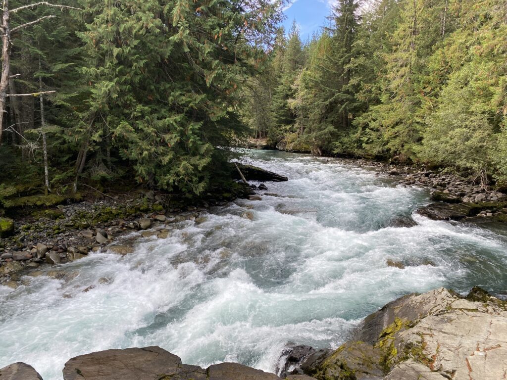
Clearwater River – Lower Section
Typically called “the Lower Clearwater” or “the play run”

The lower Clearwater is one of the top playboating destinations in BC, hands down. Regardless of what style of paddling you come from, or your experience playboating, you will have fun on the Clearwater surfing literally everything you see. If you come from a playboating background, this river may be a good starting place to help you adapt to the western
creeking world. Paddling here is a great re-introduction to boating, where
you can refresh technical skills like boat scouting, eddy hopping, and dropping into surfs.
Sites w Beta
Coordinates
Put in – Lat: 51.703491 Lon:-120.039137
Take out – Lat: 51.649766 Lon: -120.069329
Cheakamus River– Paradise Valley
Typically called “the lower Cheak” or “Paradise Valley”
Paradise Valley is a classic section on the Cheakamus, just outside of Whistler. Although I don’t have personal perspective to give on this section, I understand that it is a chill class 2 run. If it’s in Whistler it HAS to be scenic, right? That’s my belief. Regardless of the level you once boated at or your current skill, there are always ways to develop on rivers below your skill level. Paradise Valley provides the environment to do exactly that. Note: this section is not to be confused with the several other sections on the Cheakamus, which are a lot stouter.
Sites w Beta
Coordinates
Put in – 49.885552, -123.180484
Take out – 49.801932, -123.158228
Several options for take-out. You could paddle into Squamish if you wanted. This is the shortest run
Class 3 – 4
Thompson River – South Thompson
Typically called “the Thompson” or “Frog to Lytton”
 Okay, the Thompson holds a special place in my heart, being the first western river I paddled on when I was in your shoes. The reason I jumped ahead and hopped on the Thompson right away was because (a) I didn’t have this beta I’m providing for you, (b) I was living in Kamloops, and (c) I came from a big water background and was way more confident here than creeking. If you also come from a big water background, like the Ottawa or some Quebec Rivers like the Gatineau or the Rouge, you may find comfort in the chaos of the Thompson. I consider the Thompson the perfect transition river, because although its high volume, it has some creeky characteristics like canyon walls and continuous flow. If you’ve got your playboat, bring it for a lap! The long flat sections are a tad frustrating but this river is also a great playboating lap, especially “the Frog” wave.
Additionally, Kumsheen Rafting Resort provides affordable accommodation between put in and take out. Take advantage of that and stay for a weekend. Support the local businesses AND get more laps in a weekend. I mean, who wouldn’t want to spend a Saturday night in the resort’s hot tub?
Sites w Beta
Paddling Maps , LiquidLore , Jackson Adventures , BC Whitewater
Coordinates
Put in – Lat: 50.267853 Lon: -121.400594
Take out – Lat: 50.237015 Lon: -121.582949
Clearwater River – Upper section
Typically called “the upper Clearwater”
This section is a step up from the lower play run. It’s also a substantial drive further upstream from the lower section. This run is about 60km into Wells Gray Provincial Park, upstream of the famous Baileys Chute. This is called the upper because it’s the highest section of the river, beginning very close to the headwaters: Clearwater Lake. It is not to be confused with the Kettle Rapids, that like between upper and lower section. This section of river is more continuous, with some solid class 3 rapids and a couple class 4s at the end before Baileys Chute. The river is narrower, and water is moving more quickly. There are more defined features like big breaking waves, pillows, narrow canyons, and slides. What I like about the upper Clearwater is that you can take it easy with options to walk sections or run clean lines, but you can also push yourself and step up your game if you’re up for it.
Sites w Beta
Coordinates
Put in – Lat: 52.138271 Lon: -120.189314
Put in on a narrow creek with about 50m flow to confluence with Clearwater. Fun and forgiving 8ft drop upon entry.
Take out – Lat: 52.075171 Lon: -120.199574
This is the start of a portage around a couple waterfalls. Walk to the Baileys Chute parking lot.
Parking – Lat: 52.069904 Lon: -120.183407
Nahatlatch River – Upper and Canyon
Typically called “the Nahatlatch”. Higher section is “the upper”, lower section is “the Canyon”
The Nahatlatch is a true taste of BC creeking. There is two sections here that I’m talking about, the upper and the canyon.
The upper is a chill class 3 run. The lead ins to the rapids are long, with gradual pitch throughout. This river moves fast, with only few must-make moves in the upper half. You can take out after the upper, or continue on through the Canyon. The upper is the perfect introduction to true creeking. There is legitimate consequence and some must make moves, but it’s within the abilities of people who are confident on the rivers mentioned in this article.
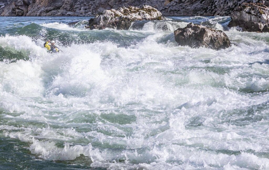
The Canyon is a step up, solid class 4 section. Crux rapids like The Nozzle really test your ability as a paddler. If you’re looking for the next step in creeking, this lower section is it. Run the upper a couple times, run some other less consequential creeks (like upper Clearwater), then challenge this one. Once you get over the fear, it’s an amazing spot to test and develop your skills. The canyon is a very short run, make a day out of it! Lap it, run upper with it, chill at the provincial campsites… remember this is fun!
Sites w Beta
Paddling Maps , LiquidLore , BC Whitewater
Coordinates
Put in – Lat: 50.008871 Lon: -121.648412
Upper Take out – Lat: 49.996668 Lon: -121.549357
Canyon Take out – Lat: 49.982247 Lon: -121.516560
Cheakamus River – Upper Cheakamus and Balls Falls
Typically Called “half Cheak”, “upper cheak”, and “Balls Falls”
 When we start getting into details of the Cheakamus, things get confusing. There is a lot of different sections in Whistler and on the Cheakamus alone to consider. Paradise Valley (mentioned before) is downstream, on the bottom end of the river. The upper Cheakamus refers to the section highest upstream towards Cheakamus Lake. There’s a few sections between Upper and Paradise. This upper section alone can be run in a couple different chunks or all together. We usually refer to the bottom half of this upper section as the “half Cheak”. Paddlers typically run from half-way to the take out or from all the way up to the same take out. To clarify, half Cheak is the bottom half of the upper Cheak. People typically expose themselves and warm up by running a half Cheak. It’s the easier class 3+ or 4- section of the upper Cheak. Once warmed up and familiar, take the step up to the solid Class 4 complete upper Cheak. The Cheakamus provides some of the most stunning views in a narrow canyon with quick-moving flow. Runs are so short that you can lap several times in a day. The upper Cheak never fails to disappoint, and is a local favourite for intermediate, advanced, and even pro paddlers.
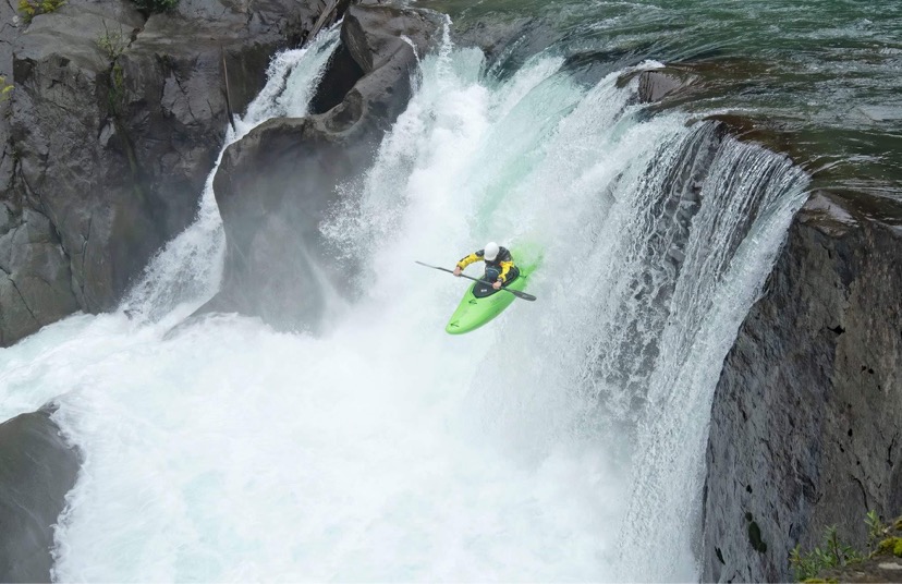
Balls Falls is that extra added fun of the Cheak amus River. The toy in the cereal box if you will. If you keep paddling from the take out of the upper Cheak, you cruise along class 2+ flows towards Balls Falls. The river widens out, becomes virtually flat, and the horizon line beams opportunity for an adventurous paddler. Hop out on river right, take a look at the crest, and pick your line over the 20ft drop. Do this with someone who has experience, so they can explain how to properly set safety and how to carry back up once you’re done. You do not want to float downstream after the falls unless you’re prepared to run a pretty stout class 5 section. Hucking this waterfall in any boat doesn’t come without consequences, but it’s one of the most controllable and safe waterfalls to expose yourself to running drops. This was my first legit waterfall, and I considered it the perfect exposure to assist me in my progression. You can bushwhack and hike in and out of balls falls when you’re done your little huckfest.
Sites w Beta
Coordinates
Full Cheak Put in – Lat: 50.057953 Lon: -123.030033
Half Cheak Put in – Lat: 50.072645 Lon: -123.037128
Take out – Lat: 50.079513 Lon: -123.035921
Summary
With this breakdown, you should have a more developed perspective of western rivers, and should be able to use this suggested framework to safely get back into or advance your paddling journey with less guessing and more reliable beta. Remember, these are only a selection of rivers that fit these qualities of a progression, there are several other class 2-3 and class 3-4 runs that can accomplish the same outcomes that I’ve outlined here. There are rivers way beyond this level of paddling, but working through the progression will grow your network and your understanding of the region, which will ultimately guide your decision on the next river after this progression. These rivers just make for a fun, diverse, progression in a semi-local destination. Only you know your abilities. Get out there with a clear head, use good conservative judgement and keep yourself in a safe controlled environment while working through this progression. Happy Kayaking!
Photo and Video credits to Ava Simpson, Alex Lowman, Jordan Bastin, Graham Gerry, and Adrian Clementino
